
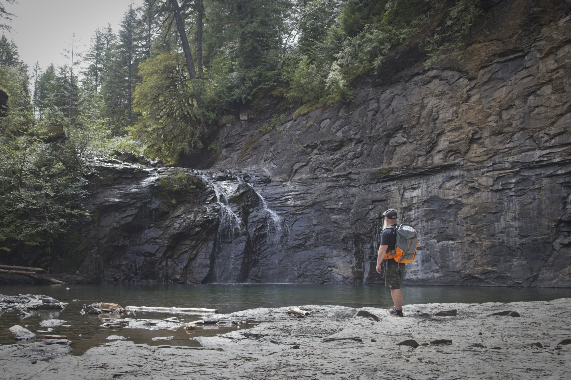
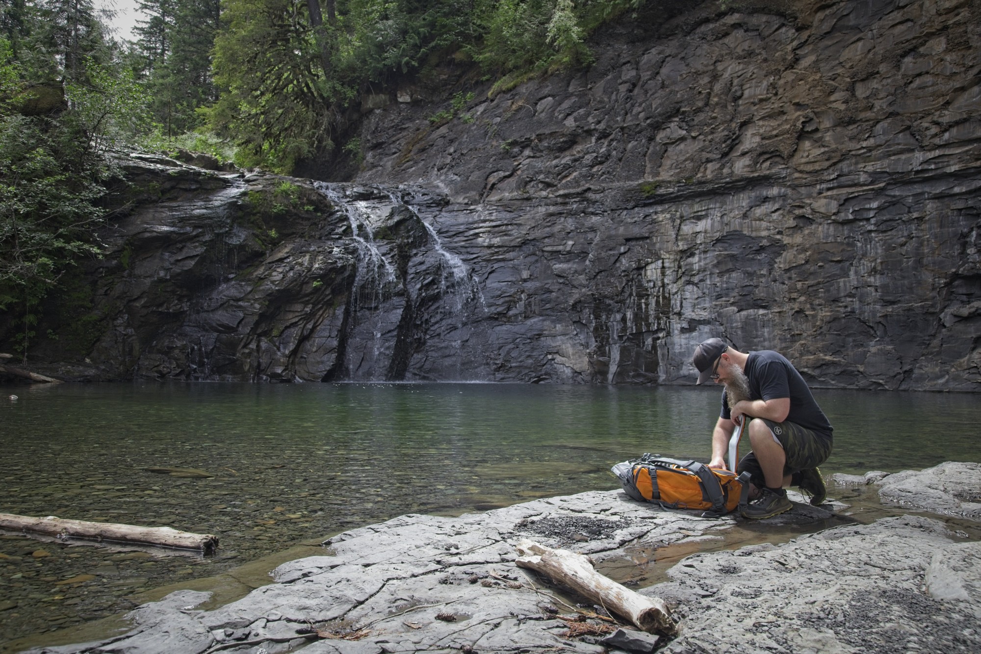
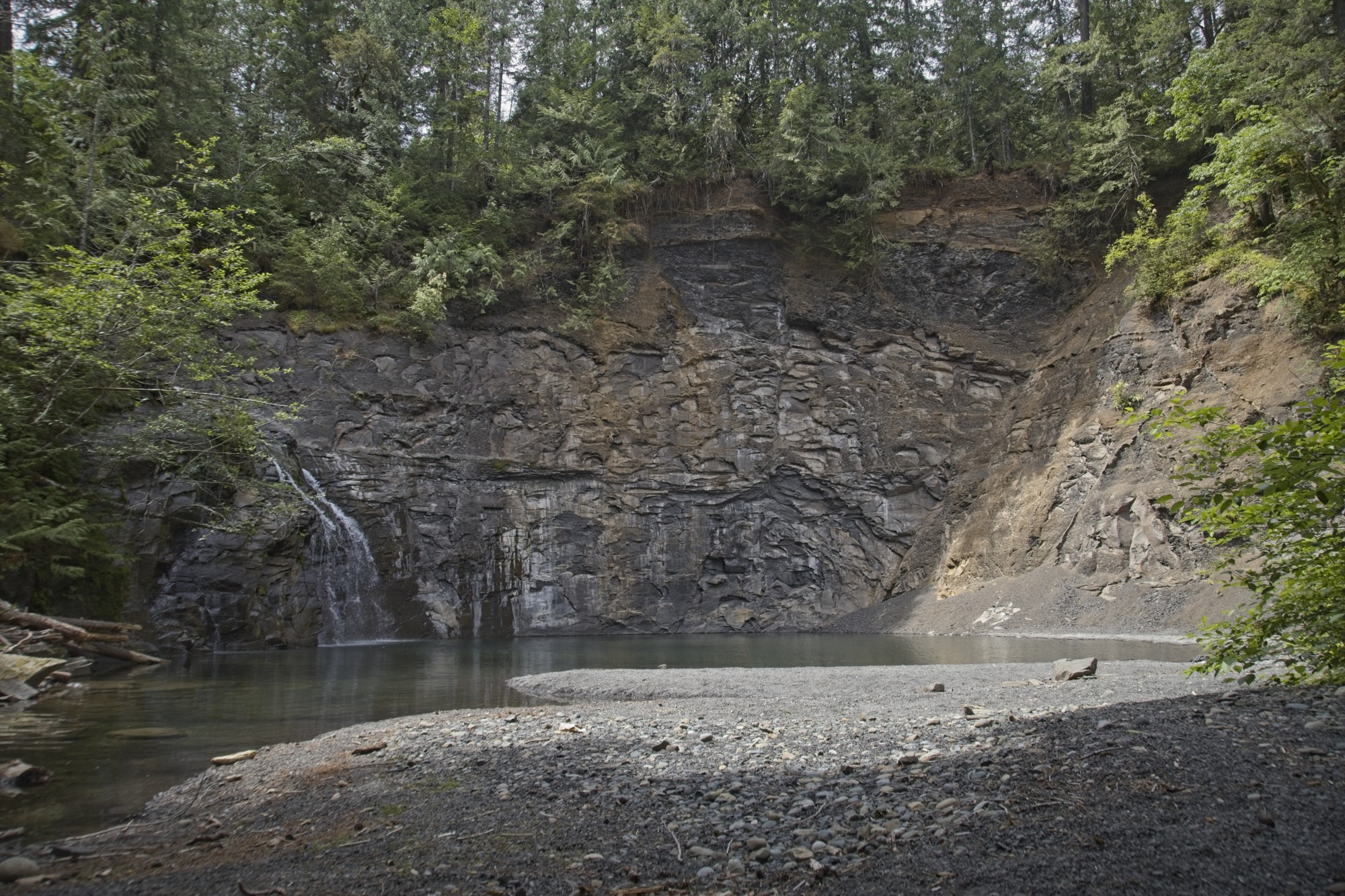
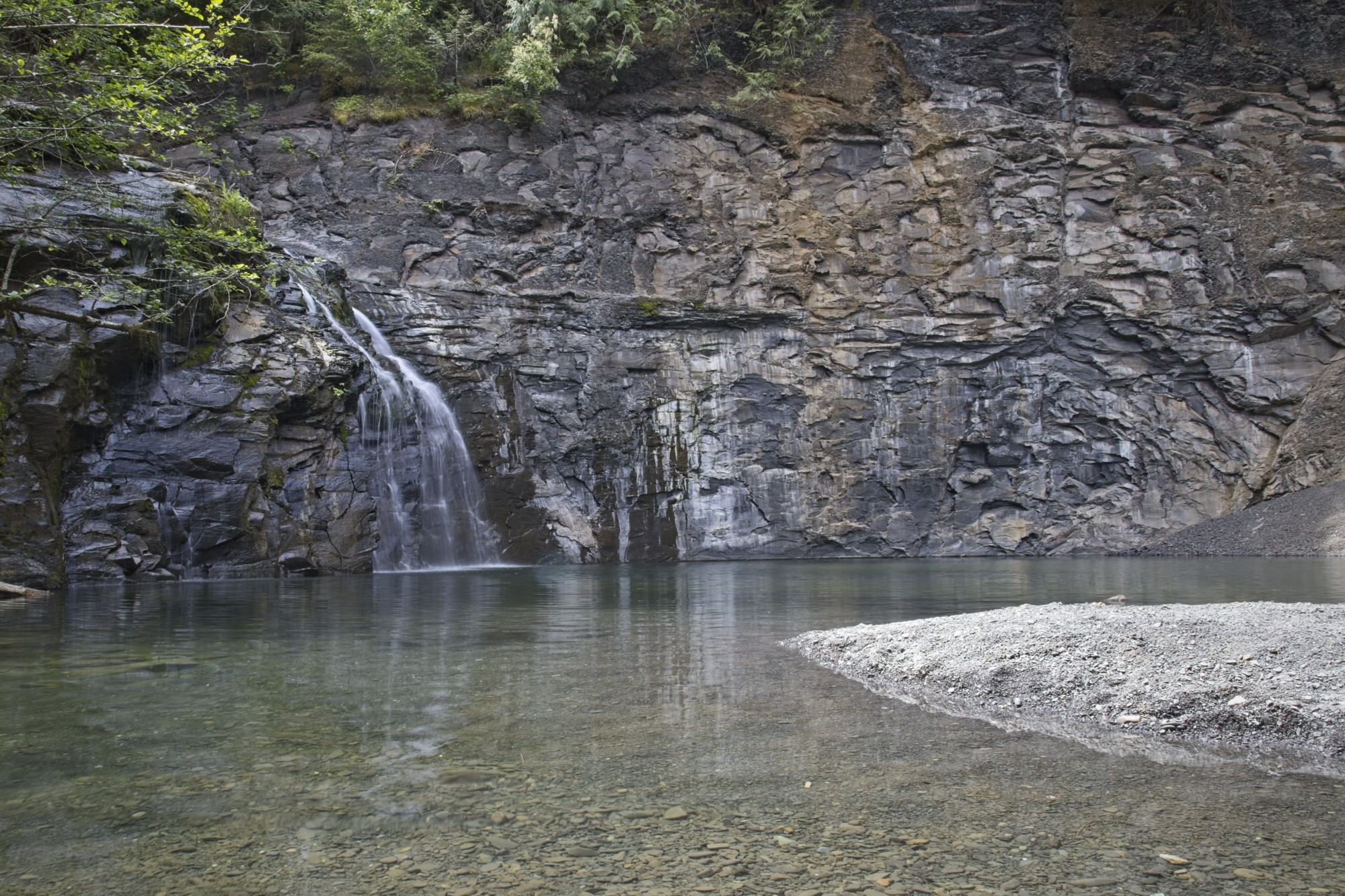
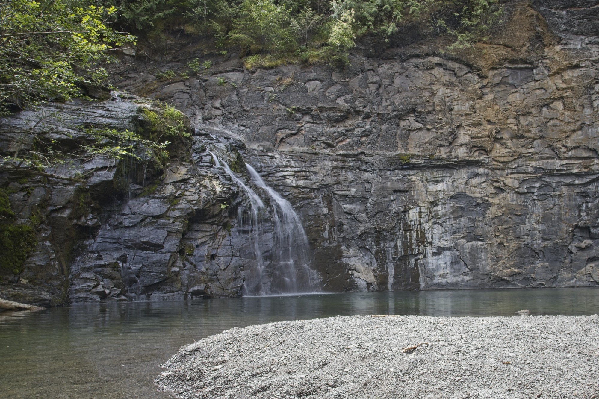
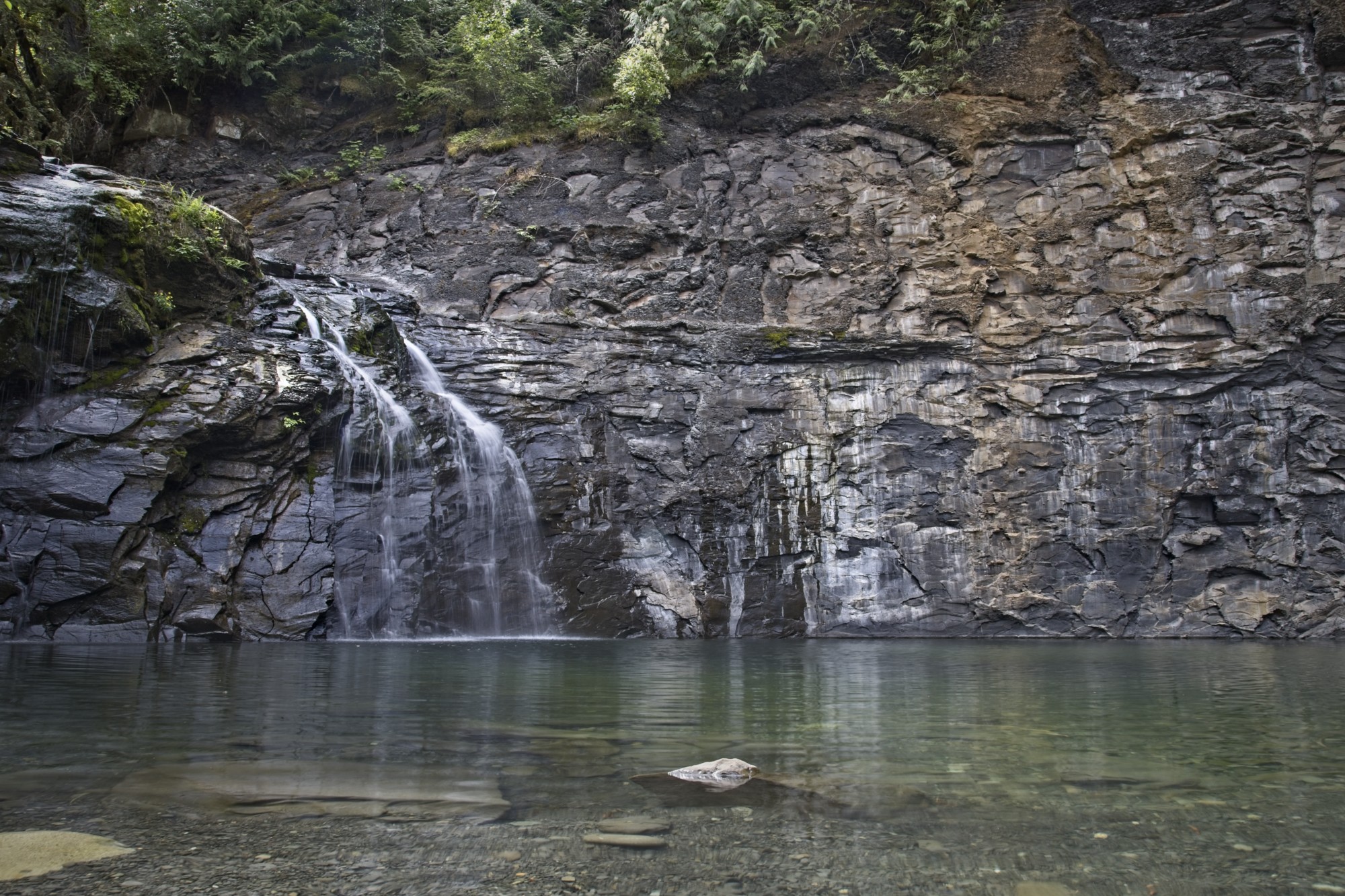
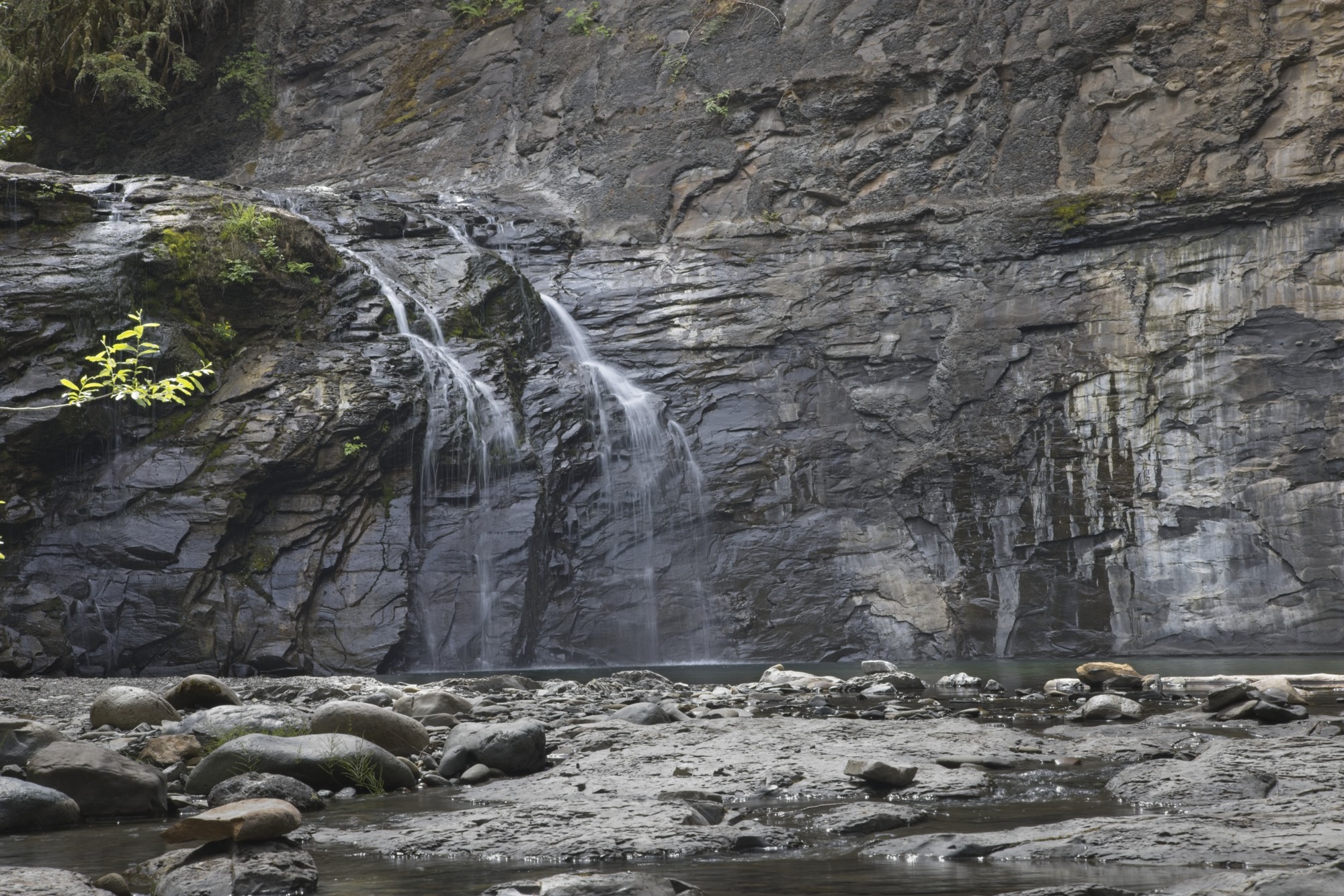
Trent River Falls is a short hike from the trailhead on the Highway 19 just south of Cumberland, Vancouver Island. The falls are about 20 metres tall and end up in a deep pool. The rock and river above the falls are also a beautiful place to explore if the roped sections are too steep.
The final descent down to the bottom of the falls is quite steep with ropes, and can be slippery when it’s wet or dusty.
Quick Stats (from Highway south-bound)
- Hiking time: 30 min
- Distance: 1.6 km (round trip)
- Elevation: 17m up, 66m down
Directions to Trent River Falls
Park on the side of the highway on the north side of the Trent River Bridge. You can hike to the falls starting from north-bound or south-bound. Parking on the north-bound side is easier.
From the north-bound side (200 metres north of the bridge), a wide path heads into the woods. Follow this wide flat path.
From the south-bound side of the highway, go past the yellow gate down towards the river and go left under the bridge. Continue down stream following the trail. A couple side-trails will go down to the river from here. Continue along the trail up to the other side of the highway to meet the wide flat trail.
At the end of the wide flat trail, it will turn down to the left with ropes attached to the trees.
Follow the trail to the fork and continue down to the left along the ropes. It is steep and slippery here.
Map to Trent River Falls
Photos of Trent River Falls
These photos were taken July 2025. The water was running low.
Other Resources