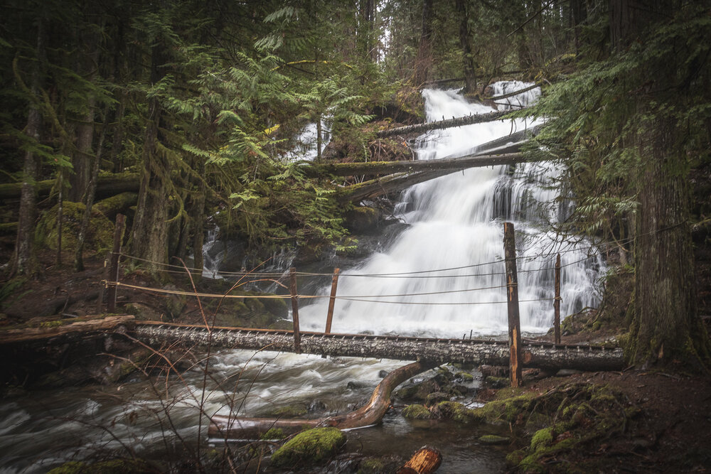
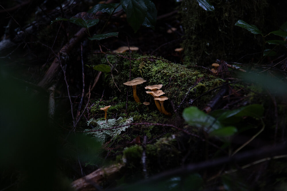
Stokes Creek Falls is a 1.4 kilometer hike down a trail off the highway near Port Alberni, BC.
See our list of Waterfalls on Vancouver Island.
How long does it take to hike to Stokes Creek Falls?
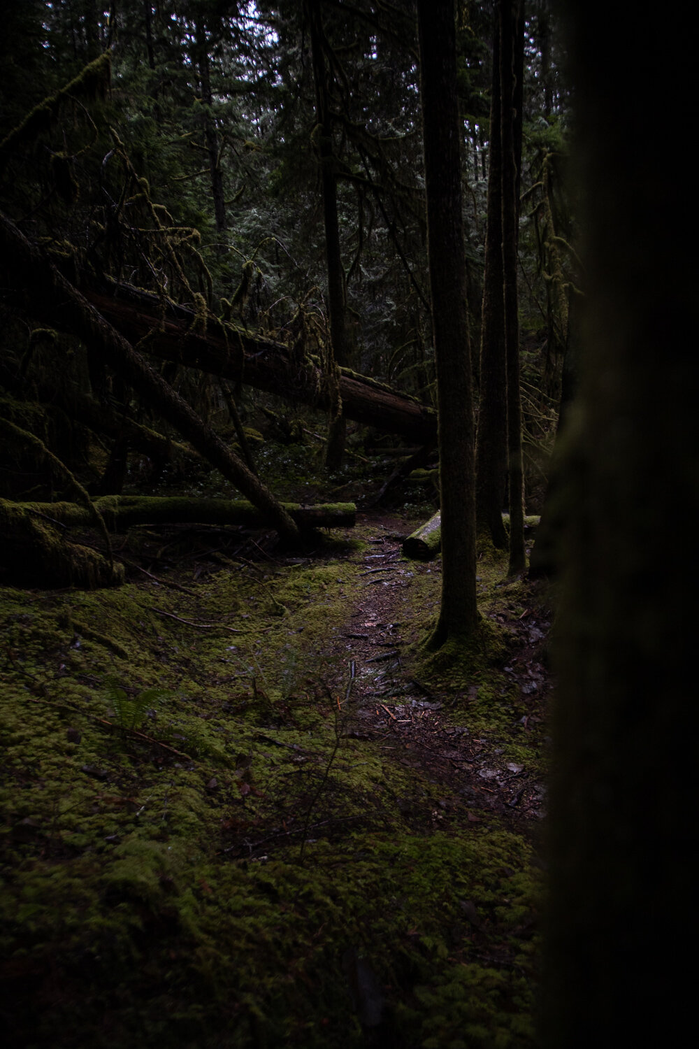
The walk to Stokes Creek Falls is an fairly easy 1.4 kilometers. The trail goes up and down about 260 metres. One the day we visited, we spent a lot of time taking photos along the way and it took about 1 hour to reach the falls.
When nearing the falls there’s a fork down the hill or off to the left. Down the hill takes you straight to the falls. Off to the left crosses the Stokes Creek and around a small loop and then back down to the falls.
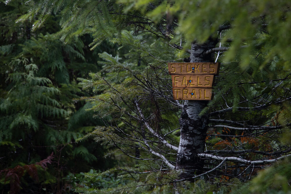
Where can I park when hiking to Stokes Creek Falls?
Parking for Stokes Creek Falls is just up the highway from the Hole in the Wall trail along the Alberni Highway on Roger Creek Road in front of the orange gate. The gate is often closed so don’t go past it or you may get locked in. Park where you can off to the side of the road.
Are there other waterfalls around Stokes Creek Falls?
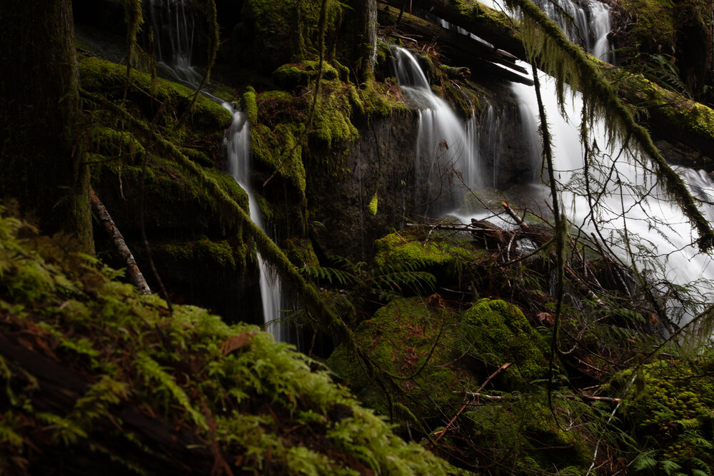
There are other waterfalls both before and after the main falls on the loop. If you stay left in the loop you will cross the creek above the falls near other smaller falls.
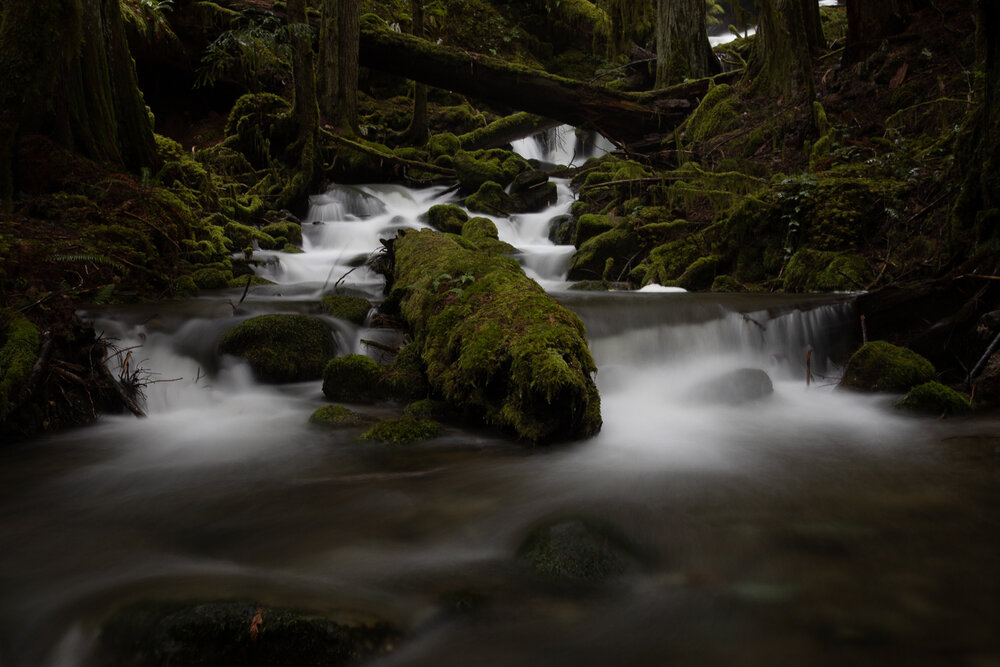
If you stay right at the fork you will pass a small set of waterfalls on the way to the main falls that are quite pretty but are only a foot or 2 tall.
Just down the highway, another trail leads to the Hole in the Wall waterfall as well.
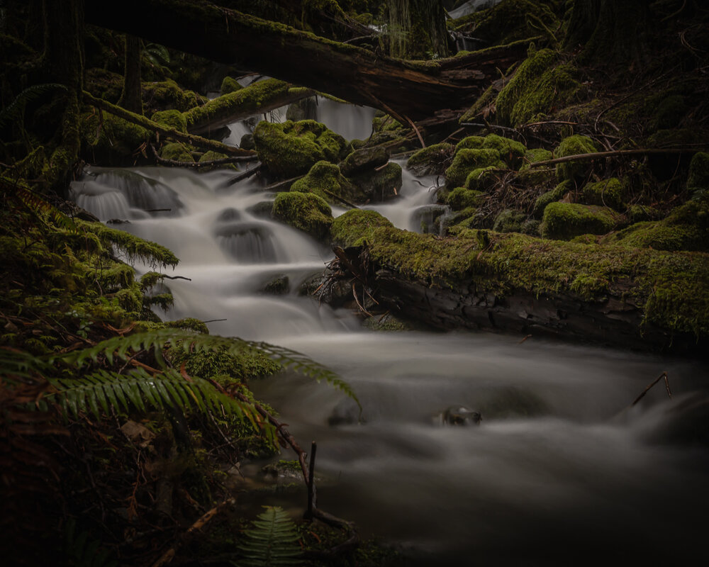
On wet days, all the streams are running.
What is the best time to visit Stokes Creek Falls?
The whole area around Stokes Creek is full of small water falls and streams when it has been raining heavily. The main falls are still beautiful at any water level but if you want to see waterfalls everywhere you look, go shortly after heavy falls.
To see the most definition in the main falls, don’t go right after a heavy rain. There is a ton of water coming over the falls!
Map
The map below shoes the track on the Gaia GPS map. Click on Stokes Creek Falls and the Data button to download a GPX or KML file to use with your GPS app.
More Photos

