Banon Creek Falls is a well-known, easy to access waterfall off Chemainus River but this is not that waterfall. Most people haven’t seen this one: Upper Banon Creek Falls.
Upper Banon Creek Falls is what I call them anyways. The folks at the District of North Cowichan said they don’t have a name but if you know more about that, let me know in the comments!
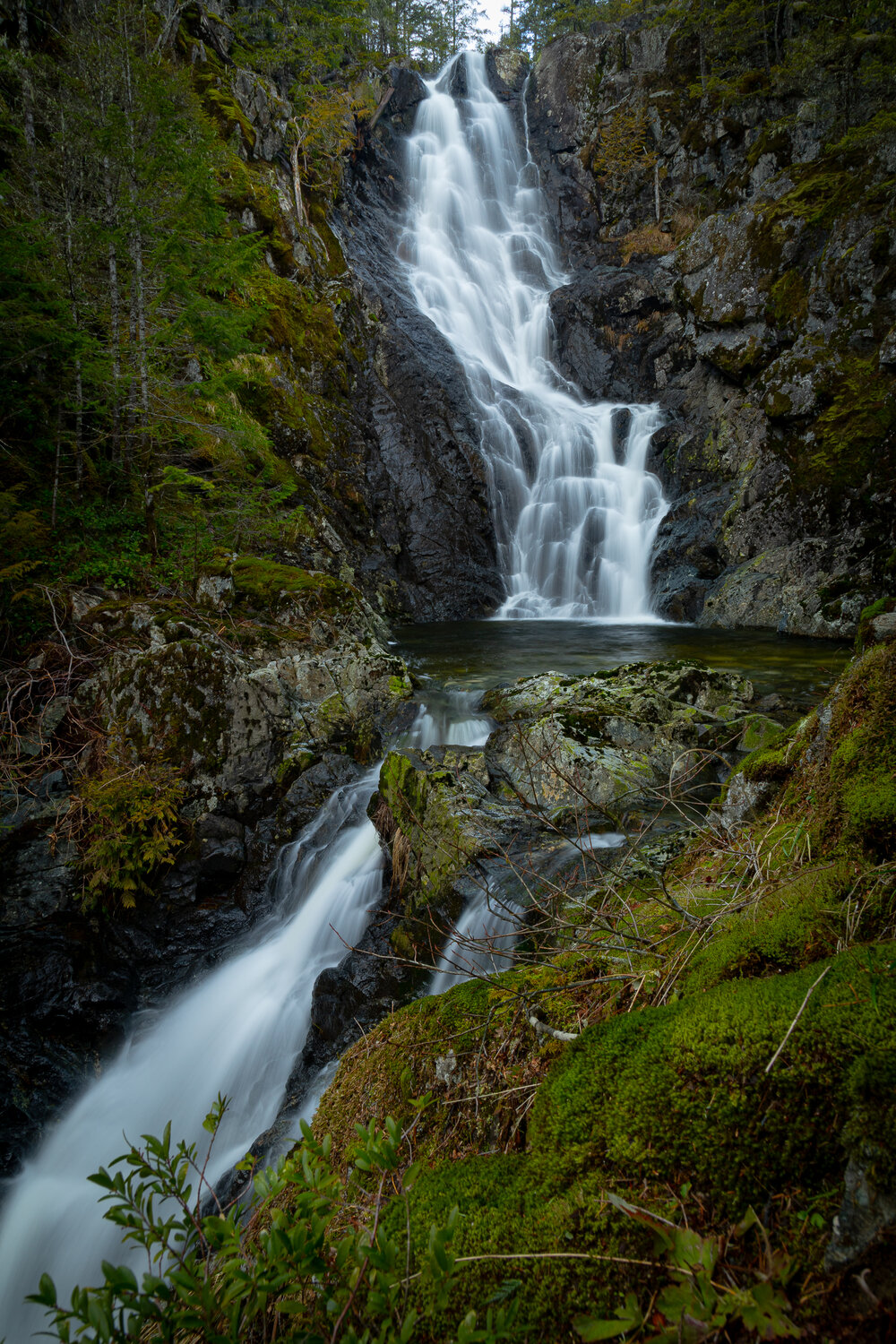
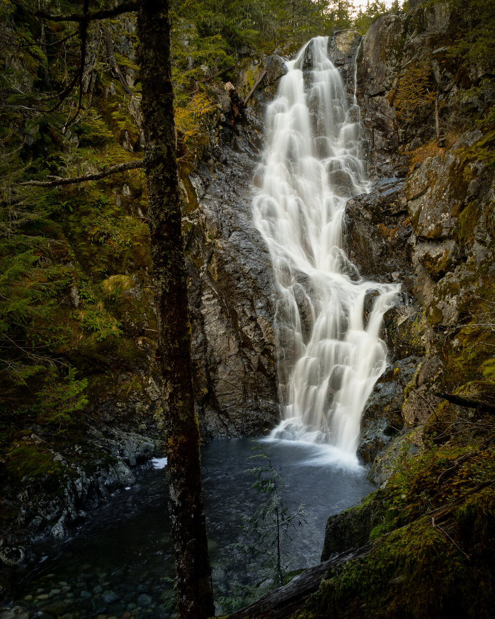
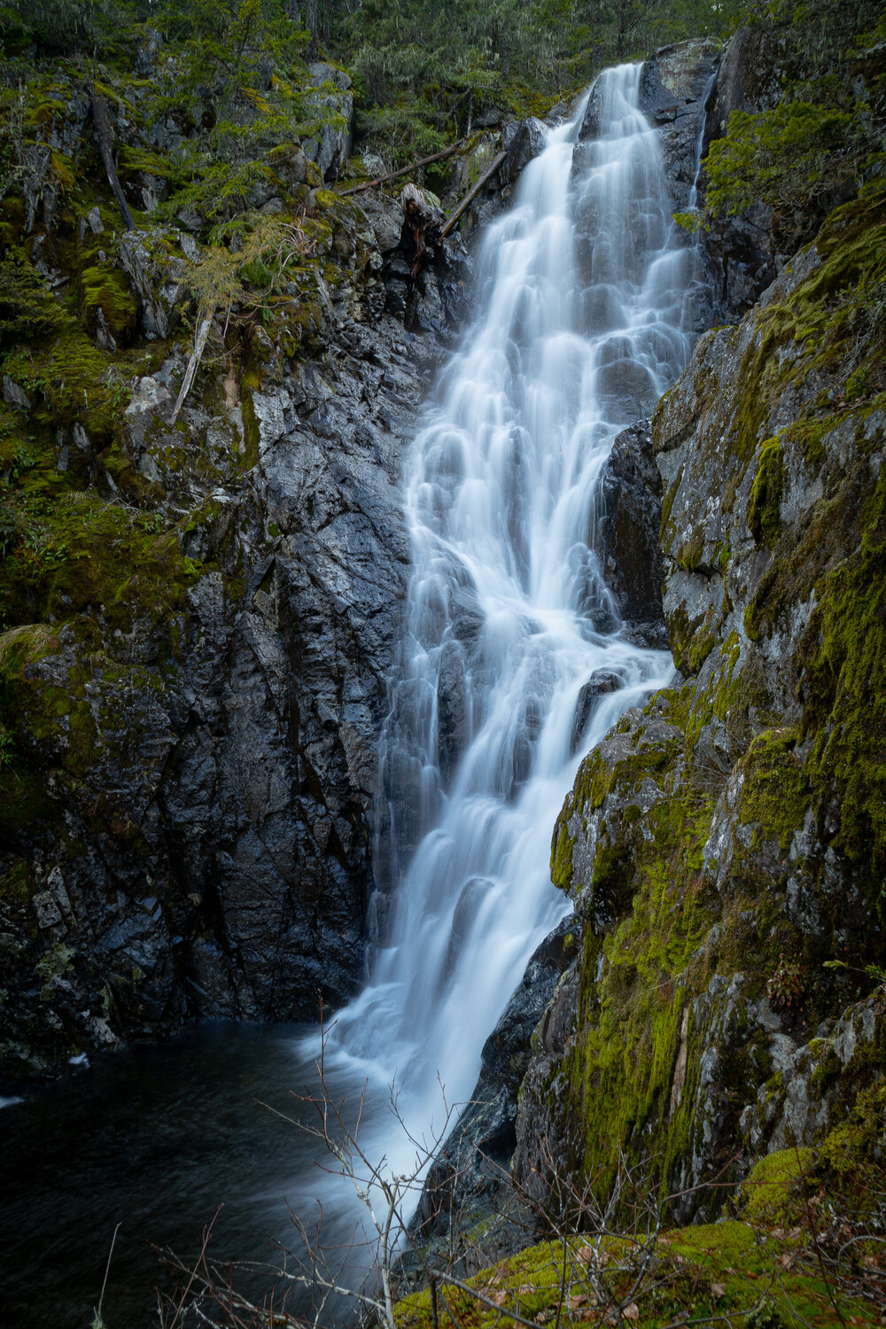
Upper Banon Creek Falls
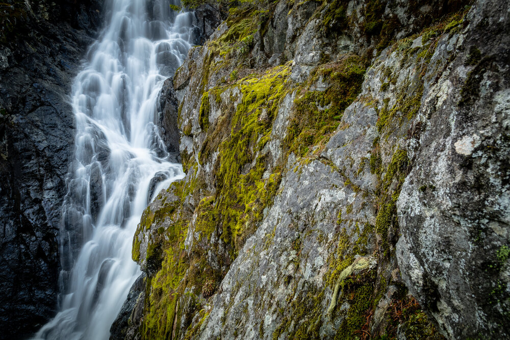
The main falls are at the top of the set and are actually the easiest to get to. There are numerous falls above and below the main set but are difficult to get to. I recommend just going the main falls.
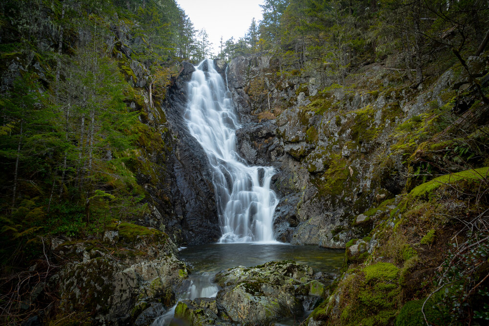
Is there a trail to Upper Banon Creek Falls?
No. It’s not far from the logging road to the falls but it’s a bushwhack, there is no trail. The first part is about 100 metres of thick overgrown clearcut. After that it’s about 500 meters up a steep hill through second growth trees. Here there is lots of blown down trees to navigate and thick salal. If you have a GPS to navigate to the falls it is not hard to navigate.
How to get to Upper Banon Creek Falls
Use these directions at your own risk. Logging roads change constantly and are always coming and going. A GPS is the easiest way to find your way around and always have a map and compass with you.
-
Turn off the highway south of Ladysmith onto South Watts Road
-
Drive past the water station
-
Drive past the power lines
-
Drive right at the T intersection (if you drive straight you’d go over a small bridge)
-
Take the second left up the hill – this road goes up the hill and then gets quite rough
-
Up hill through alder trees
-
Park at sharp right hand turn
Click Upper Banon Creek Falls or “View this” on the map below to take you to the GPS tracks and waypoints for this waterfall.
Vancouver Island Waterfalls
Upper Banon Creek Falls is one of many Vancouver Island Waterfalls but here are a few others near Ladysmith:
Stocking Creek Falls